Cape Wrath is derived from Old Norse hvarf (“turning point”) (Scottish Gaelic: Am Parbh, known as An Carbh in Lewis) is the most North-Westerly point on the British mainland. It is located in the traditional county of Sutherland, in the parish of Durness, within Highland Region. Durness is the closest village, 10 miles (16 km) to the south-east.
The cape is separated from the mainland by the Kyle of Durness and consists of 277 square kilometres (107 sq mi) of moorland wilderness known as the Parph. The first road in the district was built in 1828 by the lighthouse commission across the Parph. This road is only accessible via the passenger ferry that crosses the Kyle of Durness.
Much of the cape is owned by the Ministry of Defence and is used as a military training area, including as live firing range. Areas of it are also designated as a Site of Special Scientific Interest, a Special Protection Area, a Special Area of Conservation and a Special Landscape Area.
Cape Wrath was once the home of a series of small crofting communities, although by 1845 the only families remaining on the Parph were those of shepherds. In the 1930s it supported a population of 30 to 40 people, including a small side school at Achiemore which had up to ten pupils in the 1930s but closed in 1947. Building remains at locations such as Kearvaig have been dated to the 18th century. The Cape has few archaeological remains which can be dated to earlier than this, although a promontory fort at Eilean nan Coarach to the east of the headland may date to the late prehistoric age.
Much of the area has been used for sheep grazing, a use which continues today, and shielings, shelters built for shepherds, can be found across the Cape. The area declined in population in the mid 20th century and is now almost entirely unpopulated, although military and tourism use continues.
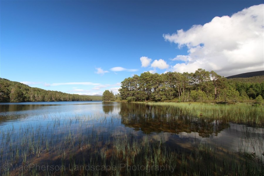
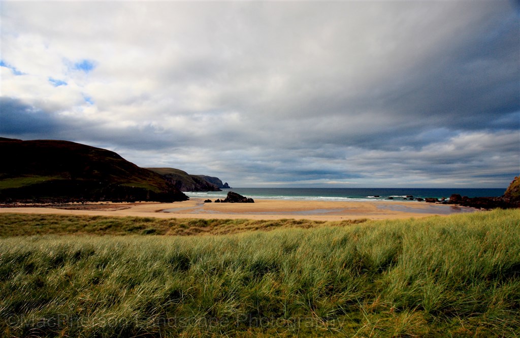
An area of 123 square kilometres (47 sq mi) around the coastline is designated as a Special Landscape Area. This area extends from Oldshoremore in the south-west to Durness in the east and includes the entire coastline of the cape area. Just offshore is Stac Clò Kearvaig, also known as “The Cathedral” due to the appearance of two spires and a natural window created by erosion. To the east lies Garvie Island (An Garbh-eilean), one of the main targets for live firing by the military.
The sea cliffs around the cape are composed of Torridonian sandstone and Lewisian gneiss. These rise to 281 metres (922 ft) above sea level and include the highest sea cliffs on the British mainland at Clò Mòr around 4 miles (6.4 km) to the east of the headland. Sea stacks, such as Stac an Dùnain at the cape itself and Stac Clò Kearvaig to the east, rise out of the sea off the coastline, with Duslic, a reef, 0.6 miles (0.97 km) north of the cape. The cape is part of the North West Highlands Geopark, a 2,000 square kilometres (770 sq mi) area with UNESCO geopark status.
The lighthouse at Cape Wrath was built in 1828 by Robert Stevenson and was manned until 1998, when it was converted to automatic operation by the Northern Lighthouse Board. The lighthouse, which is a Category A listed building, is a 20-metre (66 ft) tall white-washed tower built of granite with a single storey semi-circular base building. The light, which is 122 metres (400 ft) above sea level, is visible for 22 nautical miles (41 km; 25 mi).